Satellite Attitude and Direction-Finding, Dynamic Difference, and Time Service OEM Panel
Product profile and purpose
ZK-358 satellite navigation receiver adopts BDS B1/B2/B3+GPS L1/L2/L5+GLONASSG1/G2 three-system and eight-frequency OEM panel card, and adopts Beidou three-frequency, GPS three-frequency, and GLONASS dual-frequency three-system for joint positioning. It has ultra-long-distance RTK solution engine, which can achieve decimeter accuracy with a single epoch at ultra-long distance, and its hardware dimension, interface, and data command are compatible with the imported panel card.
Main characteristics
Operating distance of short, medium and long baseline RTK can be up to 50 km, and the measurement and operating distance of ultra-long baseline E-RTK can be up to 300 km. It supports independent positioning by single system and joint positioning of multiple systems, supports dynamic base-station, and can be used for two-dimensional orientation and three-dimensional attitude measurement. It can directly output PJK plane coordinate, which is easy for integration and mechanical control, etc. of various systems. It customizes highly compact messages, which is easy for data transmission and the application development of supporting software.


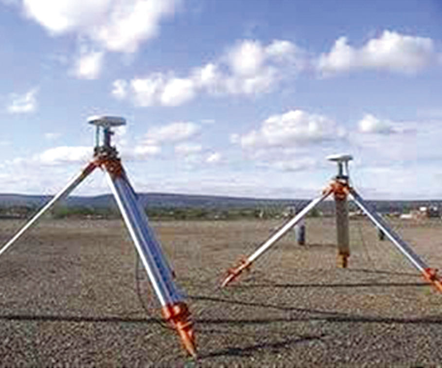
Application diagram

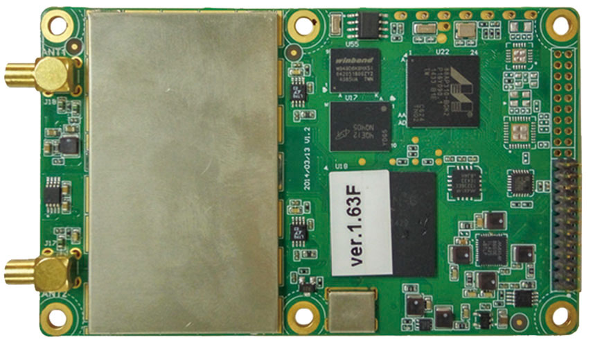
Physical product
Main technical parameters
First positioning time | Cold startup ≤ 60 s, warm startup ≤ 45 s, hot startup (using RTC) ≤ 15 s | ||
Signal re-capture | ≤ 3s | ||
Single-frequency positioning accuracy | Horizontal ≤ 3 m, elevation≤ 5 m (1σ, PDOP ≤ 4) | ||
Dual-frequency positioning accuracy | Horizontal ≤ 1.5 m, elevation≤ 3 m (1σ, PDOP ≤ 4) | ||
RTK initialization time | <10s (baseline length < 20 km) | ||
Static differential accuracy | Horizontal ± (2.5 +1×10⁻⁶×D) mm, elevation ± (5 +1×10⁻⁶×D) mm | ||
Dynamic differential accuracy | Horizontal ± (10 +1×10⁻⁶×D) mm, elevation ± (20 +1×10⁻⁶×D) mm | ||
E-RTK differential accuracy | Horizontal ± (200 +1×10⁻⁶×D) mm, elevation ± (400 +1×10⁻⁶×D) mm | ||
Speed-measurement accuracy | Horizontal ≤ 0.05m/s, elevation ≤ 0.05m/s (1σ, PDOP ≤ 4) | ||
Pseudo-distance accuracy | GPS: L1=10cm/L2=10cm, BDS: B1=10cm/B2=10cm/B3=5cm, GLONASS: G1=10cm/G2=10cm | ||
Carrier phase accuracy | GPS:L1=1.0mm/L2=1.0mm/L5=1.0mm, BDS:B1=1.0mm/B2=1.0mm/B3=1.0mm, | ||
E-RTK initialization time | 1s | Initialization confidence | 99.9% |
Time service accuracy | 20ns | Data rate | Adjustable within 1-20 Hz |
Power supply voltage | DC3.3V~DC5V ±5% | Power consumption | ≤ 1.85 W (not connected with antenna) |
Dimension | 100mm×60mm×9mm | Weight | ≤ 42g |
Operating temperature | -40℃ ~+80℃ | Storage temperature | 55℃ ~+95℃ |
Atomic clock interface | MMCX female head, 50 Ω | Humidity requirement | 95% (non-condensing) |
Data interface | COM1 is RS232, adjustable within 9600bps-115200bps COM2 and COM3 are of TTL level, adjustable within 9600bps-115200bps | ||
Data format | RTCM3.0: 1004,1005, 1006,1008, 1012, 1104, 1033 | ||